


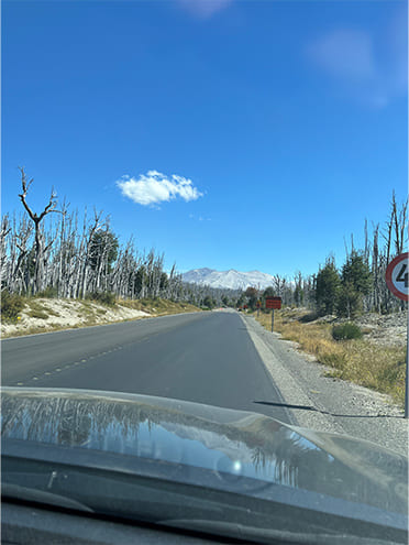
We headed west through Villa La Angostura, which is north of Bariloche. The border lies beyond the Andes Mountains. The elevation here is about 1,314 meters. As soon as we crossed over into Chile, we came across a strangely indescribable landscape. Gray trees, unlike any I had ever seen, stretched out over a wide area on both sides of the road. The reason for this is that in 2015, the volcano Calbuco erupted for the first time in 42 years. The volcanic plume reportedly reached a height of 10 km. It was shocking to see with our eyes so many trees left withered and dead.
As you probably know, Chile is a long, narrow country. From north to south it’s 4,400 km, and from east to west it averages 180 km. Chile has 2,900 volcanoes, of which about 100 are said to be active. Since Brazil has no volcanoes, earthquakes, or typhoons, I felt a bit nervous after we got to Chile.
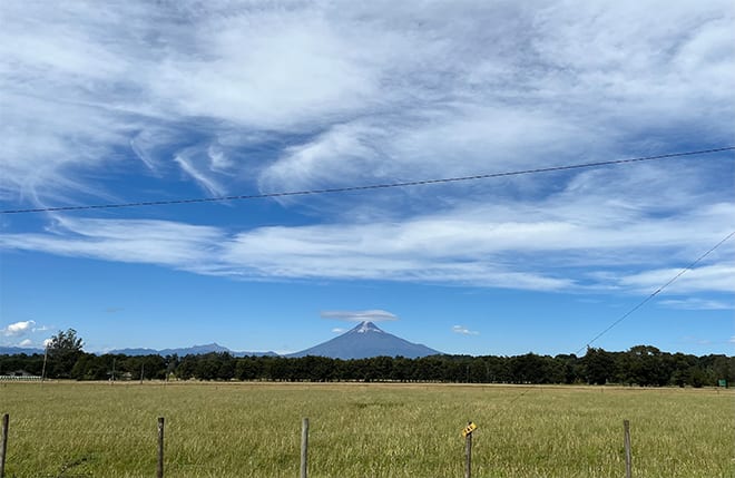
As we continued on, Mount Osorno came into view. Standing at an elevation of about 2,652 meters, it is often called Chile’s Fuji because its shape resembles Japan’s Mount Fuji, and because there is still a dusting of snow at the top even in summer. It really does look like Mount Fuji, doesn’t it?
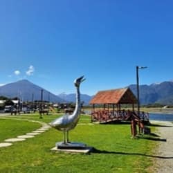
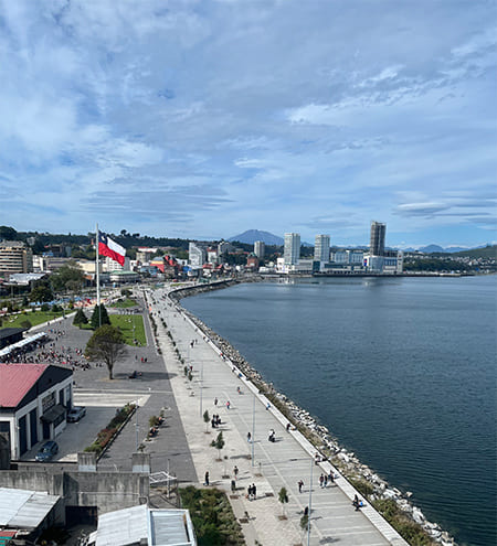
Our destination in Chile was Puerto Montt. It’s 1,000 km south of Santiago, the capital of Chile. Initially built by pioneer German immigrants in the 19th century, Puerto Montt is a beautiful city facing Puerto Montt Bay. You can go island hopping or see the volcano, and the seafood is very good too.
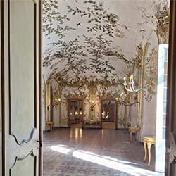
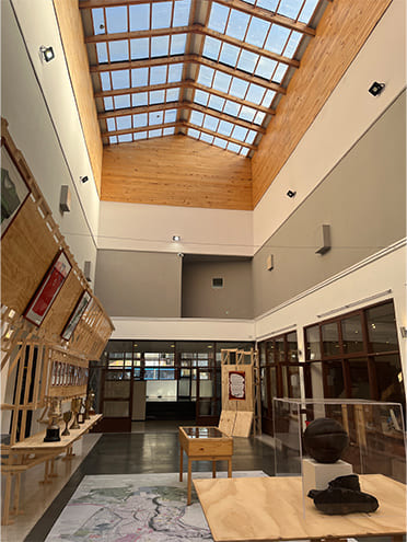
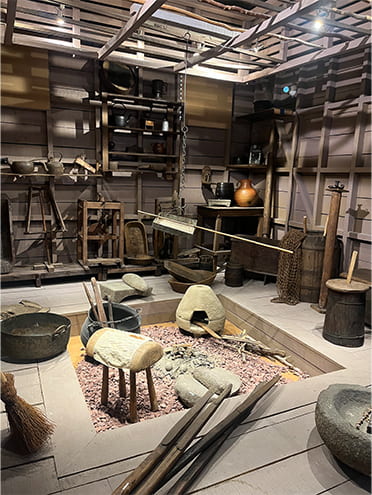
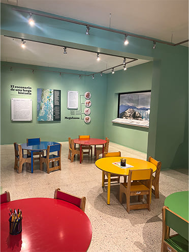
We visited the Historical Museum Juan Pablo II in the city center. It’s a beautiful, spacious building, and it was free. There were panels, exhibits, and photos with very clear explanations. It was really nice that there was a special area provided for children to have fun.
In May 1960, an earthquake occurred on the seabed near this city with a magnitude of 9.5, the largest ever recorded in history. Following the earthquake, massive tsunamis over 10 meters high struck the coastal villages again and again. They also say that the region stretching 800 km north and south of Puerto Montt was almost completely devastated. Records show that 22 and a half hours later, a 6-meter-high tsunami hit Japan. Just hearing the stories and reading the documents, I could feel the fearsomeness of this cataclysm. They must have endured immense hardship as they set about rebuilding the towns. Looking once again from my hotel window at the calm sea and people strolling leisurely, I quietly prayed that this peaceful scene would continue forever.
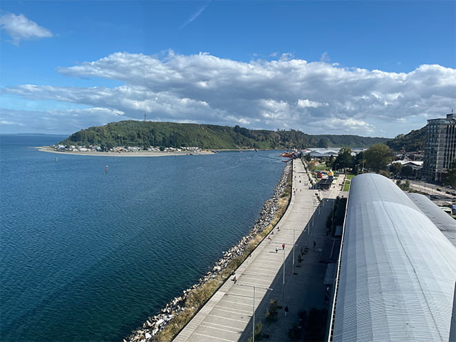
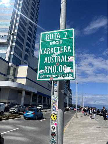
Puerto Montt is known as the gateway to the Chilean side of Patagonia and is the starting point of the Carretera Austral (Route 7). There was a sign marking the 0 km point. It’s probably the most famous sign in Puerto Montt. There were a lot of travelers taking photos of it. From Puerto Montt south to Villa O’Higgins, it’s about 1,200 km. We drove 800 km of that distance. The next town is Hornopirén. We’ll be traveling about 100 km south of Puerto Montt, taking a ferry along the way.
Our journey through Patagonia on the Chilean side continues.